When I mention to fellow photographers that I am taking a GPS unit (Sony GPS-CS3) with me, I am usually given the reply: “What for”? The answer for me is obvious. So I can record where we went and where I took my pictures.
Amongst others, I am a “travel photographer”. I have taken pictures in numerous countries, but until recently without GPS. When asked where was this picture taken, I can usually remember or refer to the file name. Now with Mr. Google Maps or similar programs, it is possible to show where. 
I use my elephant pictures as a perfect example. There are quite a number of elephant camps around Chiang Mai. Which one our tourist guide arranged for us was a mystery. However with GPS I was able to find it.
 The picture featured next is not anything special. For me though it has enormous meaning. The picture was taken at GPS Coordinates 18°47’32” N 98°33’7″ E. If one looks at the location on Google Maps, one will see it is in the middle of nowhere. We were not technically lost, since our other GPS unit knew exactly where we were, however this was not a “road”. In the end we covered 40km in 4.5 hours and were lucky that was all.
The main problem with using GPS for pictures is the workflow. Most digital “travel” cameras shoot only .jpeg. The coordinates are integrated automatically in the exif data. That is easy. However, if you shoot RAW, good luck. With my sony unit I have to: a.) Download the photos to the computer. b.) Process the photos and create .jpeg. files c.) Launch the Sony software to link the .jpeg to the gps file. A real time consuming process.
Moral of the story: It is alot of extra work to have a Canon and use GPS. However, it is an added plus if you are a travel photographer. On my upcoming trip to India I am looking forward to using GPS.
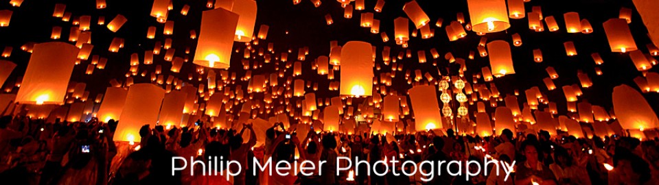
For more pictures, visit my gallery at: http://photobyphm.smugmug.com/galleries

Thaipusam Singapore 2012

Zermatt – Matterhorn October 2012